
Using Weather Data to Improve Energy Management
With increasingly unpredictable weather patterns becoming common, regional utility companies need more granular data to understand expected energy usage. Extreme heat, more intense and frequent hurricanes, and floods are just some of the consequences of a changing climate to have a knock-on effect on how energy is used and transmitted. The 2021 Texas winter storm was a perfect example of an unexpected weather event causing a regional energy crisis, with rolling blackouts causing widespread power outages. Improved weather data can help utility companies understand and accurately predict where and when supply and demand are needed and plan infrastructure changes for long-term weather trends.
How Neighborhood-Level Weather Can Help
During the aforementioned Texas winter storm in 2021, Texas’ energy utilities operator Ercot was unprepared for the extent of energy needed as Texans turned up their thermostats to deal with the freezing temperatures. The surprise surge in energy, which the state did not have the capacity to meet, resulted in rolling blackouts for over 4 million Texas residents and, subsequently, over 200 fatalities. In-depth granular weather data would have allowed Ercot to prepare for the coming weather event and reduce the chance of blackouts.
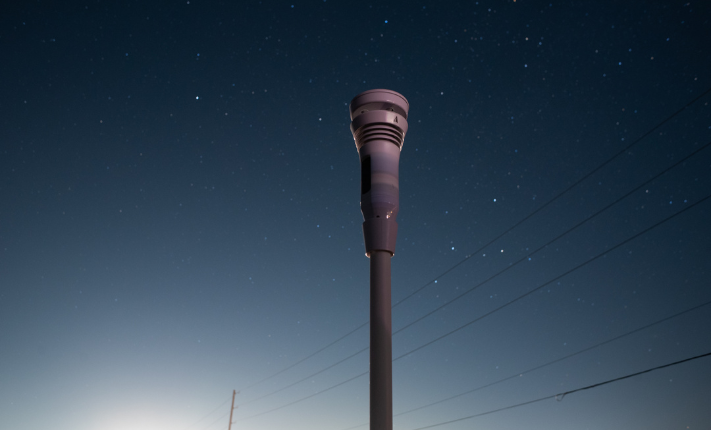
Gaps in weather data have real-world implications, as the Texas storm shows. Proactive community-based weather data collection can help energy utility managers understand on a very localized level, allowing them to forecast energy demand better and meet supply when and where it is required. Weather data from multiple point sources across a community will give energy utility decision-makers a much better understanding of weather variations across a wide area than just one weather data point, allowing for weather emergency preparedness and data-informed energy supply decisions avoiding blackouts and the issues that follow.
Wildfire Mitigation
As global temperatures increase and seasonal precipitation rates change, the already bad forest fires occurring across the globe are likely to become more frequent and severe. Wildfires increase the risk of property damage and are regularly life-threatening. If firefighters and residents in high-fire-risk areas can get accurate data on weather variations, it would give them a better idea of how fire is likely to spread and how to contain it.
In 2018 alone, wildfires caused 400 billion in property damages in California; the social and economic turmoil related to this level of loss is unsustainable. Being able to predict the likelihood of fires and how they develop will mitigate some of the loss. Predicting how forest fires evolve involves modeling weather data, drought conditions, fire behavior, and fuel data. In a real-time situation, this data is difficult to collect in hard-to-reach places, with remote locations often lacking the computing infrastructure for scientists to collect data and build models. Access to data from localized weather stations in high-risk fire areas will give real-time wind direction and speed, air moisture, and precipitation data. Giving residents in high-risk areas an idea of the direction and severity of a wildfire and a chance to evacuate or protect property if necessary. Additionally, a network of weather stations in a remote area prone to forest fires will give firefighters and researchers the site-specific rigorous data they need to understand the likely spread of the fire and contain it.
Power Line Weather Hazards
Energy infrastructure is also at risk of weather hazards. This was also evident during the Texas storms, as power transmission lines and wind turbines froze, affecting the energy supply. Power lines are exceptionally hazardous for the supply of energy as they are essential for delivering energy to where it is needed, yet they have little protection against the elements. Power lines are especially susceptible to cold temperatures and high winds, particularly when both happen simultaneously. When both occur, line galloping can happen, which is when frozen lines are blown by winds causing them to buck and bounce, leading them to snap or touch each other and get tangled. High winds can also fall trees, causing them to collapse on the lines and knock out the power.
A network of accurate weather stations would allow grid managers to perceive trends in winds and temperature and understand the risks of vegetation falling and freezing temperatures frosting lines. Allowing utility managers to manage vegetation most at risk and turn power off selectively if they are likely to ‘gallop’ mitigates harm to energy infrastructure.
Conclusion
The physical effects of climate change are making weather events more unpredictable, changing energy demand needs, and putting homes and energy infrastructure at risk. Additionally, the transition to a low carbon economy, coupled with supply chain and geo-political issues, is increasing energy prices yearly, driving consumers to look for ways to be more energy efficient and reduce their bills.
Home weather stations like Tempest’s allow homeowners to understand what the weather will be exactly where they are and change their thermostats accordingly, saving energy and money. And if they are in an area of extreme high-risk weather or forest fires, it will enable them to protect their property and could even save their lives. However, home weather stations work best the more people have them in a community, as this gives more data points across a region, compounding the level of energy savings across the community, reducing greenhouse gas emissions, saving money, and enabling the local utility grid managers to allocate energy more efficiently to avoid blackouts when energy use surges and to plan energy infrastructure projects effectively.
Back to: Articles